


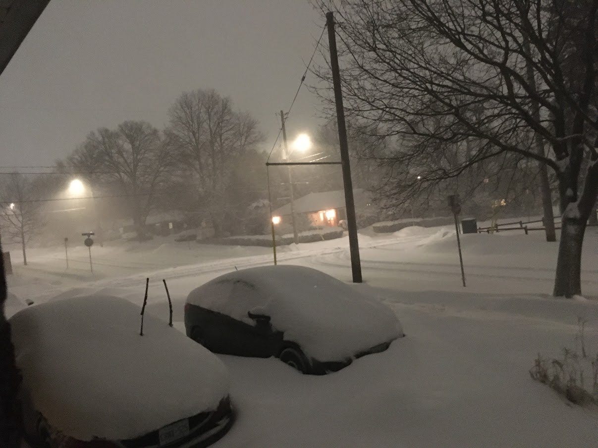
This past Friday (March 3, 2023), most of Ontario got walloped by a massive winter storm. My area was right in the bullseye and despite the fact that I leave my apartment approximately never, I spent Friday eagerly perusing Twitter’s #onstorm tag. It was a fun one: 3-5 cm per hour! High winds! Blizzard conditions! Jokes about Toronto calling in the army! Albertans telling us we’re soft and this is just another day for them! Thundersnow!
Wait, thundersnow?
WTF Is Thundersnow?
Thundersnow is a weather phenomenon that is essentially a thunderstorm where the main form of precipitation is snow, not rain. It’s… kind of right there in the name. It’s pretty rare, but occurs most often around the Great Lakes and during lake-effect snow—so, my area. Well, a little more to the south and east of me than my exact city, but it does happen here occasionally too.
Also known as a winter thunderstorm, thundersnow features both thunder and lightning, though the thunder is usually more muffled due to the heavy snowfall. When lightning does flash, it tends to be extremely bright, likely reflecting off the white snow.
This lightning is also usually positively charged, which makes it stronger than the usual negatively-charged lightning. Though it’s less likely to impact the ground, it’s more destructive when it does hit something.
How Does This Happen?
In your regular summer thunderstorm, what basically happens is moist, warm air is forced to move by either the local geography (hills, mountains) or another air system (trough, cold front). This air rises until it begins to cool, which is what forms a cloud—specifically, a cumulonimbus.
The cumulonimbus keeps rising until it hits a freezing point, at which point the moisture it contains begins to freeze and bounce around. This causes it to build up electrical charge and boom: thunderstorm.

But thundersnow happens during winter, meaning it’s not really… warm (climate change notwithstanding). This is why it’s considered a pretty rare phenomenon. Thundersnow still requires a strong updraft so it’s only going to happen during an already powerful storm. In my area, it can be caused by cold air moving over warmer water—like the Great Lakes.
It’s also caused by what’s known as synoptic forcing, which basically means the normally flat top of the cumulonimbus develops ‘turrets’ and things start bumping into each other again.
Quick Thundersnow Facts
Happens most often in March, April, and occasionally May
Experienced all over the world, or at least places where they get snow/sleet/freezing rain
Causes heavy snowfall rates and low visibility
Produces winds stronger than tropical cyclones
A less likely cause of bright light than a transformer blowing in Toronto, because going by Twitter, that happens with worrying frequency
Bonus Round
Favourite versions of Bohemian Rhapsody: